We know that the water main runs across the front of the Hoover Factory because we followed it there from Rydal Crescent. Now we are perched on the edge of new lands, new possibilities, but how to proceed? The Hoover Factory ends at a side street, Bedford Avenue, but where does the main go from here? Does it cross the A40? Or will it follow along our side of the road further west? We’ll have to trust the process and carry on along the main road, at least as far as the footbridge visible ahead because we cannot safely cross the streams of hurtling traffic before then.
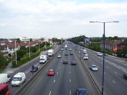
The A40(T) at Perivale: note the Hoover Factory and the hedged grass verge by Dawlish Avenue
This was the dilemma I faced when I reached this point recently (August 2007). Having made my mind up I proceeded along the A40 north-side, passing Dawlish Avenue, a line of semi-detached houses running alongside the A40 and separated from it by a thick verge of hedge-wrapped grass and ornamental trees. This looked promising; could the main be buried beneath the banal green utility? After crossing Horsenden Lane South, I saw an extensive sports field with a thin band of secondary woodland screening it from the traffic. I poked about in the thicket seeking signs: plates or irons; grates and markers; perhaps railings. I draw a blank and am on the horns of my dilemma once again: do I cross the A40 here to see if the Way has turned further south-west or do I proceed along the north side of the road as I have done for the last half-mile?
I thought about Dawlish Avenue with its verge, I contemplated the belt of woodland stretching ahead. I decided to carry on. As I got to halfway along the front of the sports field I spotted a small blue plaque marked “Water” and began to suspect I had made the right decision.
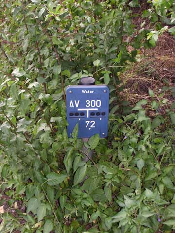
A small blue plaque gave me reason to hope
Next, opposite the junction between the A40 and Argyle Road I saw a stream tumbling down just inside the margin of the sports field and disappearing under the main road.
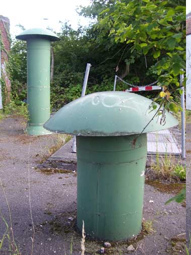
A pair of green mushrooms
presented themselves
This feature directed my glance across the A40 and there, in a little fenced-in pocket, I saw a likely pair of green mushrooms. Not gateposts this time, they are ventilators or some such for the main I suspect. I crossed as the traffic momentarily hushes for the Green Man, and approach the green structures standing quietly in their cage. I am on the right track once more.
I head south along Argyle Road, noting in passing that the streamlet has resurfaced, creating a beautiful mere, dense with purple loosestrife. To my right a short street, Stockdove Way, cuts through to where several successive segments of the Way are evident in a kind of receding striation. The general orientation is towards the railway bridge close by South Greenford station. I follow through now, mesmerised yet again by the sinewy reach of the Way, its no-nonsense determination to fulfil its function, creating the conditions required for our endless cycle of life and consumption. It is the autonomic nervous system of the city.
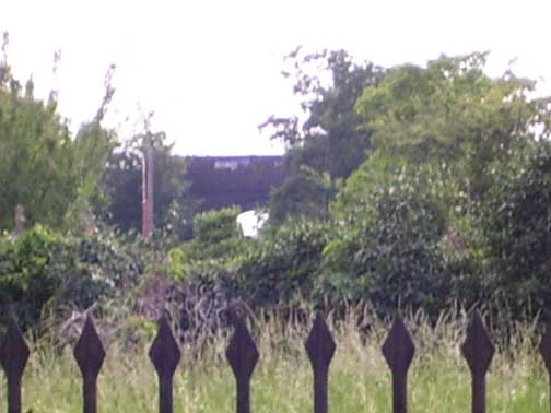
The Way points towards the railway bridge
Ahead, through the railway bridge is the large expanse of the Perivale golf course, stretching ahead to Greenford Magna. Just up, alongside the entrance to the golf course I spy metal plates, lichened slabs of concrete and, ahead, cutting across the course, a low causeway dotted with metal markers. I set off.
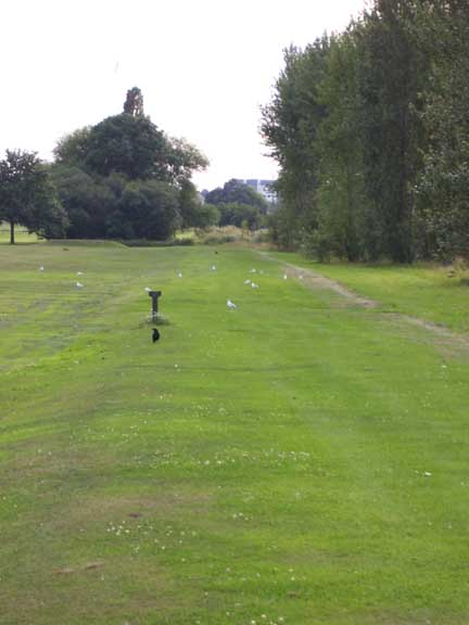
The Way stretched ahead towards Greenford Magna
In the long grass growing on the causeway are several MWB markers. I carry on until I hit a small stream, Coston’s Brook, carrying water from the area south of Sudbury Hill into the Brent. I think initially that it is the Brent and this throws me into a temporary aporia as I struggle with my Bartholemew''s Atlas of Greater London (1986 edition), which doesn’t include the stream in its detailing. However, I recall seeing the stream on a map included in Nicholas Barton’s The Lost Rivers of London and, reassured, cross by the footbridge. How the Way deals with the crossing of the stream I cannot say. It is either buried beneath the floor of Coston’s Brook or, perhaps, it is piped over in a tube mounted onto the infrastructure of the bridge. I tried to see if this was so but, due to dense vegetation, was unable to gain a suitable viewpoint.
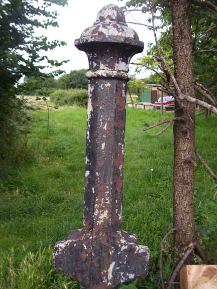
A solitary octagonal gatepost
stood in my path
But cross it undoubtedly does. I walk a straight footpath heading towards Coston’s Lane and note that the Way is proceeding alongside me, heading towards a solitary octagonal gatepost, minus the railings usually attendant upon such a manifestation. Across Coston’s Lane the Way is visible, cutting ahead towards the Ruislip Road. Reaching this I see a Thames Water pumping house and feel assured I am doing things right.
But where do I head from here? I cannot see beyond the pumping house, embedded as it is in the floor of the valley formed by the River Brent. Will the Way follow strictly along the river south? Something compels me to walk to where Greenford Road runs south, perched a little up on the wall of the river valley, heading towards Uxbridge Road.
At first nothing shows. I traipse along Greeenford Road, passing a post office and a catholic school. Finally up ahead and on Greenford Road’s western side I see a derelict stonemason’s yard. I see gateposts and railings and I know my theory has been vindicated; It was the pumping station that gave it away – why would one be needed unless a rise, such as the one ahead at Dormer’s Wells, needed to be surmounted?
Looking diagonally ahead beyond the yard I see a stretch of the Way cutting from Windmill Lane to a road. After that there is a large public housing estate planted on the crest of the rise. Working through to this via King’s Avenue I deduce that the Way has been heavily disguised, crossing between two blocks in an area given over to swings and suchlike for the use of the local kids.

