I returned to the East Finchley Fuel Lands allotment recently to examine a fine jewel of a riverlet: this is a secondary stream that flows into the Fuel Lands from an adjacent set of allotments, these run by Barnet Council. This stream flows into what, on another page on this site I call the Fuel Lands Brook.
The course of our riverlet is discernible through a glance up Creighton Avenue from the main road: about a hundred yards off there is an evident dip in the road where the stream passes below. The basic geological contours are in place to provide an effective runnel for the stream, as there is a pair of promontories consisting of glacial gravel aligned either side of a surface layer of London Clay.
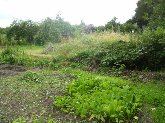
The stream curves across Barnet Borough''s
allotment off Creighton Avenue
The riverlet surfaces in the allotments run by Barnet Council: After asking a couple holding a picnic on their plot for permission to enter I climbed over a rather grand wall from the Fuel Lands and spotted our stream curving away through the vegetables and fruit trees towards its source.
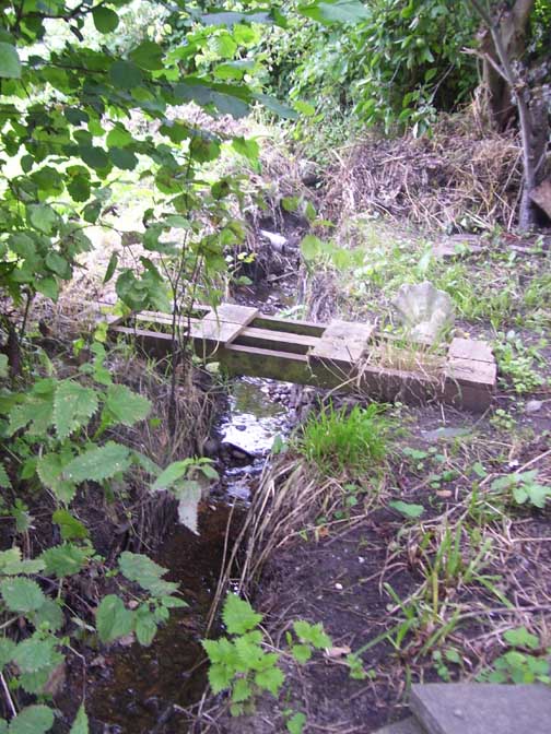
rickety little bridges span the gully
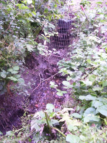
The riverlet enters the Fuel Lands via a grated tunnel
Rickety little home-made bridges facilitated the movements of the gardeners over the rillet. The stream passes below the wall dividing the two allotments via a grated tunnel. From there it cuts diagonally across the Fuel Lands via a buried plastic pipe to join the Fuel Lands Brook at the bottom of a noticeable dip, just north of the track cutting west to east through the alotment. The riverlet was buried fairly recently and its course can be spotted by the sparse vegetation – ragged blooms of green alakanet, fat hen and borage – forming a straight line through dense patches of onions and leeks!
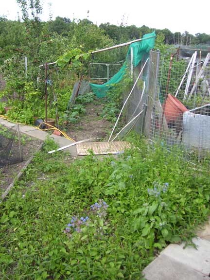
Its course is visible as it
cuts across the allotments
Barnet Borough’s archivist Hugh Petrie introduced me to his friend Paul who owns a plot at the point where the rillet enters the Fuel Lands. Paul has an old shack situated directly above the stream. It is a rather wonderful musty thing packed with stacks of old rabbit hutches dating from a previous owner. Paul told me that during the recent heavy rains the stream surfaced and rolled across the floor of his shed, kindly leaving by the door! I was intrigued and upon entering the shed I could hear a trickle emanating from its dark and dusty corner.
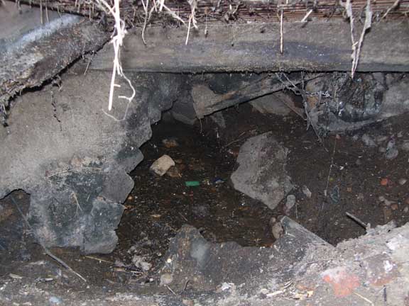
The stream is glimpsed through
a hole in the corner of the shed
Paul told me the stream was visible through a hole in the corner of the shed. He kindly granted me permission to remove some lumber and wire frames in order to photograph it. This I did, wrenching a grate away in order to get a passable shot. A dark jagged hole appeared and looking down into it I saw water flowing across a bed of gravels. I can only assume that this debris constricts the low of water through the newly laid plastic pipes, thus causing the stream to rise to the point where it flows across Paul’s shed-floor.
The stream is marked on the 1821 OS one inch to one-mile map. A more recent map, the 1894-96 OS Middlesex Sheet XI.8 shows the stream as surfacing at a point corresponding with the future line of Creighton Avenue. Following this line roughly south brings it to a small pond situated just north of Hertford Road and it is possible there is a relation between the two features.

