As stated on the page dedicated to the Silkstream, the Burnt Oak Brook joins the former just after both streams have passed below Watling Avenue. On this page I will look more closely at the Burnt Oak Brook and attempt to determine its origins.
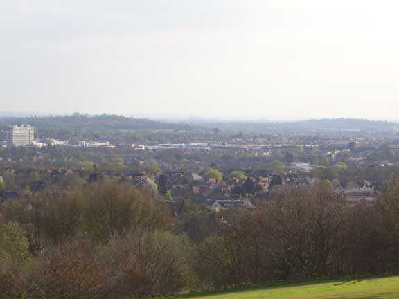
Mill Field Park - the Burnt Oak Brook has its source
on these heights
I need to digress here briefly and define what I mean by a brook’s rising and also what I mean by a stream, brook or river having a place of origin. It is normally understood that a stream “rises” at the point at which it becomes visible to the eye. There is a clear example of a stream’s rising in this way at Golders Hill Park where one of the tributaries of the Clitterhouse Brook surfaces on the grass just to the west of the old oak forming the park’s centre-piece. A damp rust-tinged stain emerging as if from nowhere slowly builds in magnitude and, within yards, a small gully accommodates the slight but indisputable trickle of water. However, due to the build-up of housing in the region these rising streams are often placed in culverts, surfacing only when they form a landscape feature or when the wetness of the attendant river valley has rendered building work impossible.
The Burnt Oak Brook is a case in point. It first manifests to the naked eye in the little green space known as Simmond’s Mead, adjacent to Mill Hill Circus, where the A41 meets Mill Hill Broadway. A fine stream runs through a sculpted landscape complete with idyllic bridges and exotic trees.
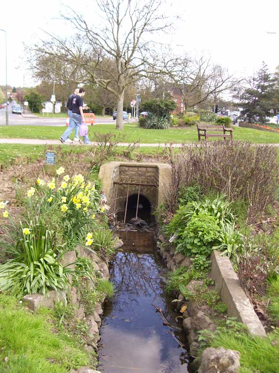
The Lawrence Street stream in Simmond''s Mead
From there the brook runs under road surfaces, probably alongside the Broadway, to its east, and below the M1 Motorway Bridge. It is traceable as an undulation cutting diagonally across the gardens and the road surface of Langley Park Avenue, off Bunns Lane. It reappears through a pipe, running into fields between the houses of the Watling cottage estate in the far corner of Langley Park.
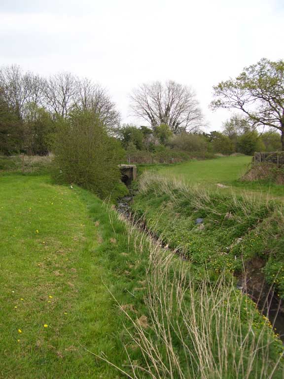
The Burnt Oak Brook close by Langley Park
According to the London Ecology Unit’s book, Nature Conservation in Barnet (1997) this is where the brook rises (“near the M1”). Yet I have traced the origins of Burnt Oak Brook far closer to the watershed at Holcombe Hill a good mile further back than even Mill Hill Circus. A walk up Lawrence Street from the little park at Simmond’s Mead soon reveals a deep gully to the left. This is initially hidden in the back gardens of the houses but soon becomes apparent – particularly at Sunnyfield, where the drop is awesome. A local living deep down in the drop told me there is a stream running in a 14-inch culvert between the houses in the bottom’s deepest point. Further up Lawrence street, at Sunnyfield’s second entrance the drop is positively alarming, a steep descent to creosote fences via dense thorns. It is a small pocket of planetary-surface refusing to adapt to a world of four-wheel drives and cheap air travel
.
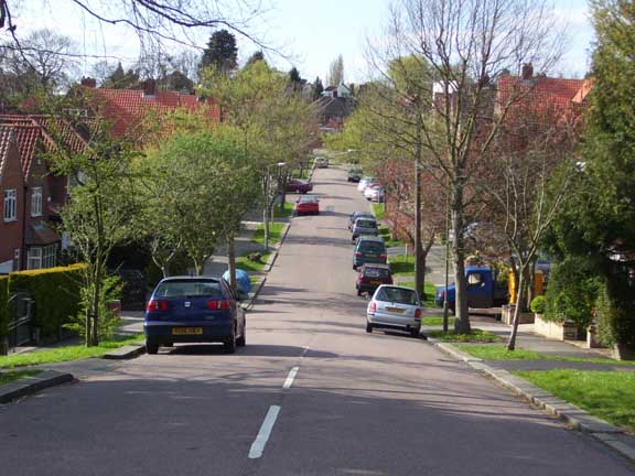
The dip into the gully at Sunnyfields
The gully fizzles out somewhere close by the allotments further up the hill but a local told me there are ponds in the grounds of St Joseph’s College and these undoubtedly feed the invisible waterway too.
There is a tributary to the brook close by, rising – quite visibly – on the Mill Fields opposite Belmont School on the Mill Hill Ridgeway. I think there may actually be two tributaries here, one at either edge of the Mill Field, but one of these is probably closer to being a drainage ditch, for what the distinction’s worth. I will be highly inventive here and call the more evident of the two the Mill Stream. This fine little darling of a rill (a rillet almost) runs all the way down the east edge of the St Joseph College grounds, behind the backs of the Drapers’ cottages on Hammers Lane and to the bottom of the fields where it backs onto Birkbeck and Victoria Roads.
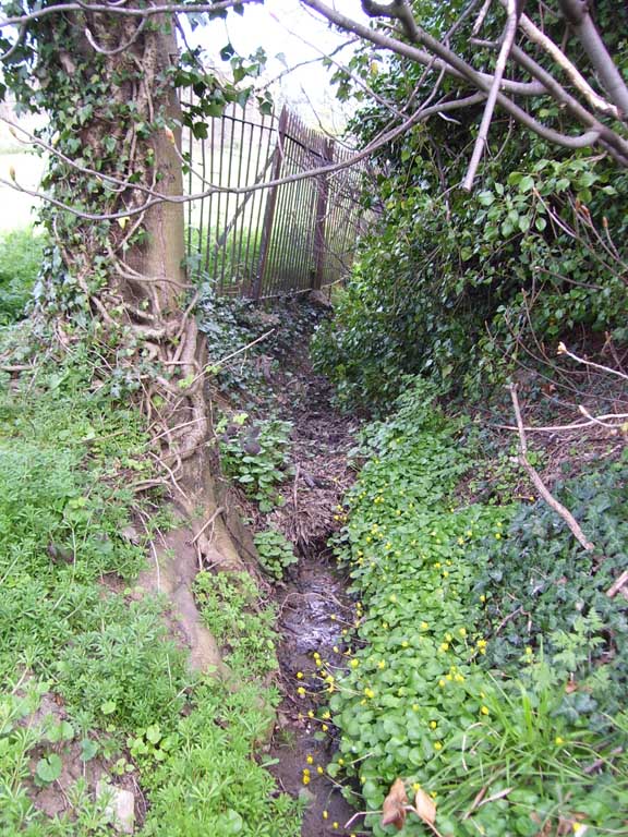
The Mill Stream as seen from
Shakespeare Road
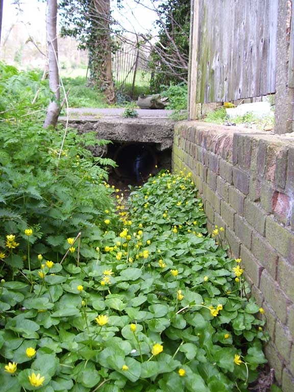
I took these photographs at the end of Shakespeare Road, where a small alley gives access to a footpath running across the fields to Lawrence Street. On the day I visited, the rillet (sorry, the Mill Stream) was dense with Lesser Celandine or Pilewort. After surfacing at Langley Park the Burnt Oak Brook picks up yet another tribuatary running due sout from somewhere over beyond the Hale. As usual, this is traceable in low-points in road-surfaces and gaps between houses. It is clearly discernible at one point along Hale Drive, a long suburban street running off Deans Lane. I caught a visual sighting by walking along the Burnt Oak Brook by Dryfield Road. Very nice it was, a friendly female duck being in attendance
.
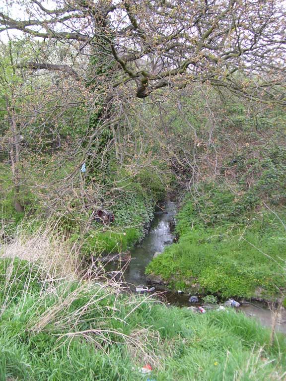
The Hale brook joins its mother...
I traced the tributary back into the grounds of some sort of derelict utility building where the stream appeared from a pipe running under the old railway tracks. The stream stank just here and was littered most disgracefully with rubbish. The only compensation on the day I visited was a thick cloud of Stitchwort growing close by. I call this brook the Hale Brook.
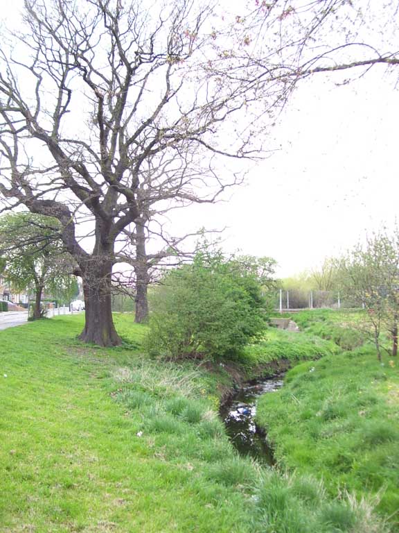
Oaks alongside the brook
The Burnt Oak Brook will join the Silkstream after running through Watling Park. This stage of its journey does not overly interest me except to point out the numerous fine oaks along the stream’s course, not only in the park but also alongside The Meads close to Langley Park

