A study of Streams in Parallel
The Pointalls District Allotments are situated in Finchley Central. The Northern Line electric railway forms their western boundary. Long Lane, Squire’s Lane and the A406 flank the other sides of this largish area.
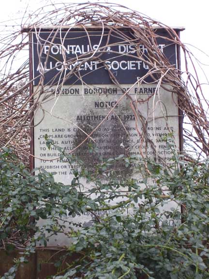
The allotments are named for the Pointalls Charity which served (and continues to serve) relief for the residents of Finchley. It should be noted that my 1952 Bartholemew''s Atlas of Greater London refers to the allotments as “Kay’s Fields,” after Peter Kay who owned the Claigmar Vineyards close by. The land seems to be an amalgam of Long Thistley Field, and Little Burr Field as marked on the 1727 map of the Manor of Bibsworth (Finchley) made by John Johnson.
In November 1924 Middlesex County Coucil contributed £1146 towards the aquisition by Finchley Council of the 15 acres of land at Long Lane, for a public open space. Pointalls and District Allotment Society immediately had the use of about 10.5 acres of the land and, in 1940, expressed a desire to have it permanantly appropriated as allotments. It was a good time to apply given the drive to produce foods under wartime conditions and Finchley Council immediately asked the consent of the County Council for this to be done. They agreed to this at a meeting held at Middlesex Guildhall, a condition being placed that the Finchley Council repaid £800 to them. This was, appropriately enough, 10.5/15ths of the sum contributed by the County Council in 1924!
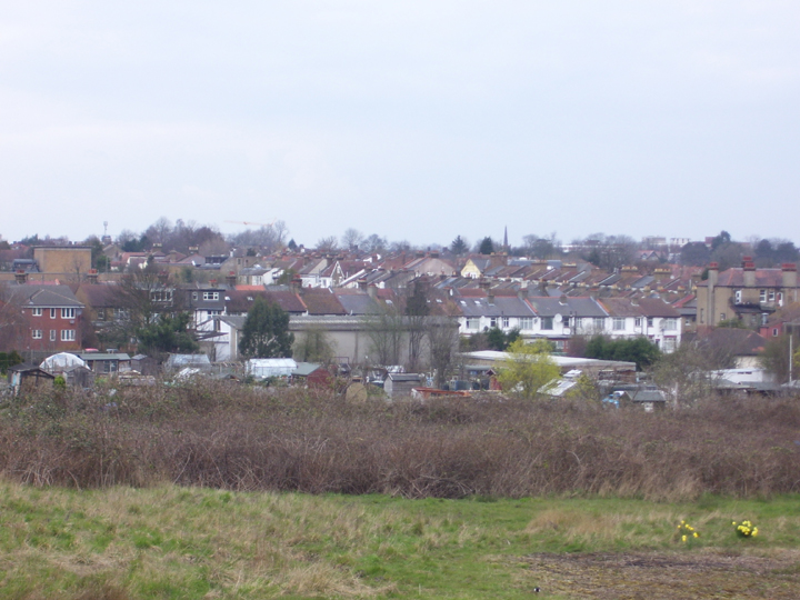
The view north across the allotments,
looking down into the valley with its watercourse
The allotments are of interest here for the simple reason that traces of three streams are discernible in the configurations of the land-surace within the area under discussion. At the southern end of Squires Lane, across East End Road, stands the old Finchley Manor House: it is located on a mild ridge (altitude about 224 feet) of glacial gravel overlain by boulder clay, that effectively forms a watershed for streams flowing in different directions. Several springs run to the south, emptying into the Mutton Brook (one of these can be seen flowing towards the Mutton Brook in the green area opposite Tillingbourne Gardens).
However it is with the northeast-flowing springs – effectively sources of the Strawberry Vale Brook – that we are concerned here.
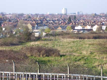
A view across the valley to the Finchley boulder-clays at Tally Ho Corner - The Art Depot is clearly visible.
About a year ago I was moved to study this area after being introduced to the allotments by Louise, a friend who rents a plot near the allotment’s north side. Through Louise I gained access to this usually secure zone given over to vegetable and flower gardening. All summer I helped Louise turn the soil, dig up weeds and water the resultant beds. When not so engaged I wandered about trying to read the land surface. I concluded that the northern-most of the two streams mentioned above flowed below the cement track running along the allotment’s northern edge (close to Squire’s Lane). This is definitely the lowest point in the valley containing the allotment (as is clear if you view the area from the A406, from close to the bridge carrying the road over the Northern Line).
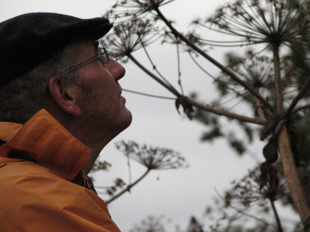
Author Nick Papadimitriou surveys
the Heracleum mantegazzianum
The previously mentioned southern stream is actually still visible, running alongside the base of the embankment graduating the course of the A406 over the electric railway. If you climb through the ramshackle fencing alongside the road’s north side (I got in through ivy-covered depression in a bit of old cross-wire fencing) and drop down via a raggedy slope you enter a wet zone separated form the allotment by a further fence. The stream flows at the bottom of this slope.

The stream filters through vegetation
at the base of the A406
This area was of interest generally as it is clearly intersected by drainage channels and bits of old wall, benches and the odd apple tree add to its charm. One of the allotment users told me recently that there are plans to build on this land. There is therefore an urgent need to assemble data on, and a photographic record of, this curious zone.
The two streams cross beneath Long Lane, their courses vivble as low-points in the road surface either side of the pronounced hump between them. The further rivercourse is below the bridge carrying the A406 over Long Lane. The photograph below shows this clearly.
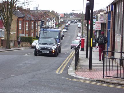
The view from the junction of Long Lane and Squires Lane: The course of the two streams is visible in two low-points.
I grew up in Finchley and walked Squire’s Lane often as a boy, either to get to Avenue House Park or to Squires Lane swimming pool. Never did I suspect such riches lay hidden below the surface of the sullen landscape I passed through on a near-daily basis.
The more I think about it the more this particular strand of research returns me to my earliest days. I spent my early life - until 13 - at 63 Queen''s Avenue, a house about halfway up the street on its west side. I recall now the deep gully that formed the back gardens of the street and of those in adjacent Woodlands Avenue. Our back door opened onto a good ten-foot drop despite being on the same level as the front door. To access the garden we had a verandah with steps down to where an apple tree grew, and a big yellow wooden door leading into a vast musty basement.
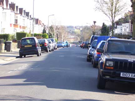
The view down Queen''s Avenue showing
the drop to the river valley
The garden itself dropped further, down to where a creosoted fence divided our property off from our back-yard neighbours. Here there was a plum tree and a stone bench and bird table.
One summer I set out to dig as deeply as I could at this point in the garden furthest from my Father''s prying eyes. I remember now digging and digging until I hit a harsh stone conduit. I gave up, slung my spade in disgust and got on with setting fire to the basement, drowning spiders or whatever else it was I felt I needed to do.
It strikes me now, probably forty years later that the conduit was infact the stream marked on OS maps dating from before the building of the suburbs. Our deep-set back gardens were infact facing down into a river gully. It connects up, knowing for the first time, years later where it was I lived.
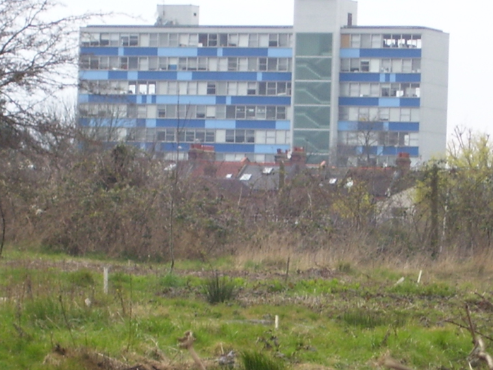
The slopes down to the river valley (with
1960s office block behind)
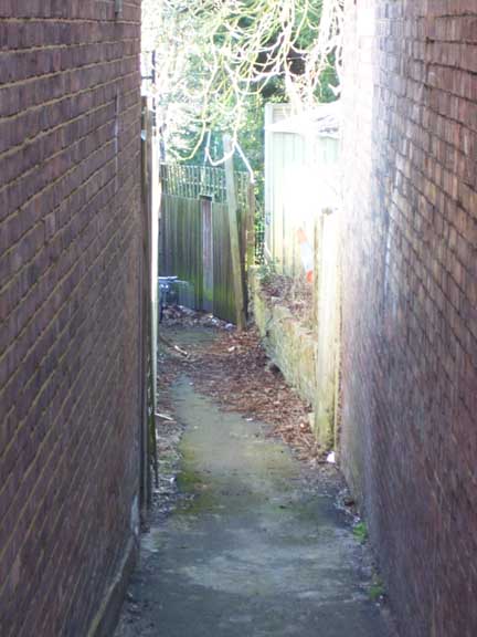
The Strawberry Vale brook used to be traceable through a concrete pipe running across wasteland at the back of the houses on the south side of Glebe Road. It was once possible to access this via an alley at the western end of Glebe Road. Now, alas the alley is sealed with a high wire fence. Worse though is that the actual river course seems to have been buried deeper and is now lost somewhere in the swathe of new houses and the garage serving the A406 close by.
I recall bunking off school in the cold winters of 1969 and 1970, building little shacks on this wasteland and lighting fires to stay warm. I used to break into the sheds in the houses’ back gardens for tins of paint, which I would splash over the conduit. I would then burn the tins, their black chemical smoke providing a visual and olfactory analogue to the diffused black life I led. I knew, even then, that no one would ever come close. They never did.
The alleyway off Glebe Road: It marks a footpath that
led to a bridge over the Strawberry Vale Brook
The alley is a relic of a footpath that once led from the south of Bow Lane to a bridge over the Strawberry Vale Brook and from there toward Brownswell. It is clearly visible on the 1894 Middlesex sheet X.18. Now it is closed, a further encroachment made in the name of the motorcar, as the alley’s closure was necessitated by the widening of the A406 some years back.
If you ascend the footbridge spanning the A406 nearby there is a clear line visible behind the houses on Glebe Road, a finely defined dip marking the brook’s course.
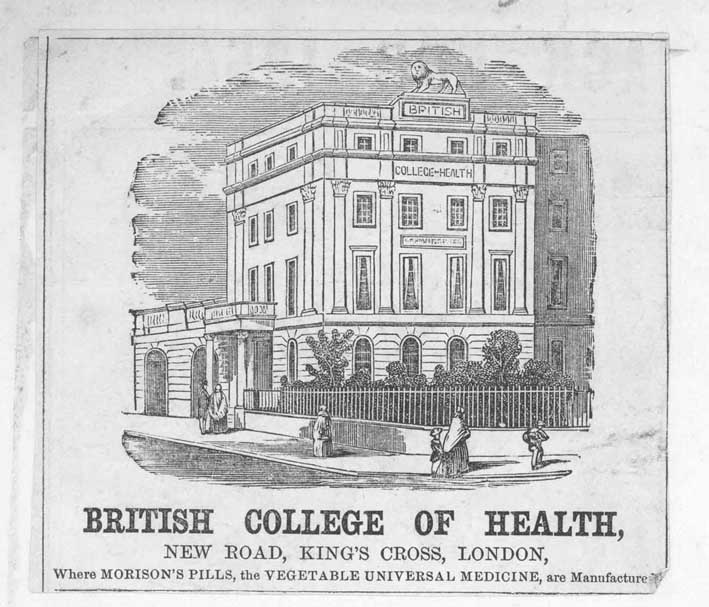
19th century flyer mentioning Morison''s pills.
James Morison owned Strawberry Vale Farm
I assume the stream crosses the junction between the A406 and the Great North Road diagonally but where exactly is impossible to say. The old farm building adjacent to the curvy modern housing estate is the old lodge for Strawberry Vale Farm, once owned by James Morison, the self-styled "hygiest" who gave the stream its name. I met an old gentleman while wandering around this area who claimed there was a tunnel running from the lodge house to Tally Ho corner. If you follow through the estate''s heart eastwards you are on track to trace the stream. Note the cluster of tall sessile oaks growing at the estate''s eastern edge. Climb the iron railings into into the cemetery further along the A406 if you can and head along the footpath at the land''s lowest point until you eventually see the Strawberry Vale brook surface through a handsome brick tunnel-mouth.
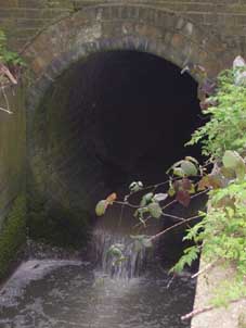
The Strawberry Vale Brook finally surfaces
in St Pancras cemetery


