As mentioned on the Pointalls Connection page of this website, the cap of land containing the old Finchley Manor house on East End Road is a watershed.
Streams flow northeast, joining beyond the Pointalls allotments in Long Lane to form the Lea-bound Strawberry Vale Brook. However, it is with the southbound streams and in particular the Tillingbourne that we are concerned on this page.
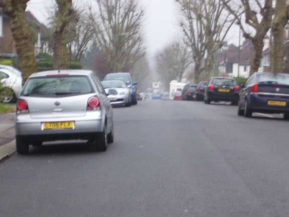
The view down Windermere Avenue:the Tillingbourne
flows beneath the road surface
The Manor House was, of course known for its moats and ponds. These held clear and useable water issuing from where the Finchley Gravel Clays hit London Clay high up on the watershed and as yet uncontaminated by cattle wastes. From there the streams ran south to join the Mutton Brook. These waterways are very hard to track today. Extensive building has radically altered the contours of the land. Closer to their confluence with the Mutton Brook the water courses hit the A406 North Circular and the A1 Falloden Way and these two highways have their own distortive effect on attempts to read the land.
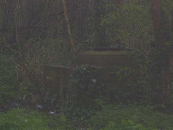
Not a tank, but one of the access chambers to the East Middlesex Main Drainage Scheme, Mutton Brook Valley
What is clear is that one brook, probably born of a fusion of smaller rills closer to the watershed, flows into the Mutton Brook opposite Creswick Walk at the Garden Suburb''s northern edge. It can be seen flowing through a marshy area consisting of fallen white poplars and various willows. At times of rain this stream flows directly over the footpath running along there. It is a damp, acid sort of place with curious brick-mounted access plates serving the East Middlesex Main Drainage Scheme. The plates are marked FUDC (Finchley Urban District Council) and presumably date from the 1950s.
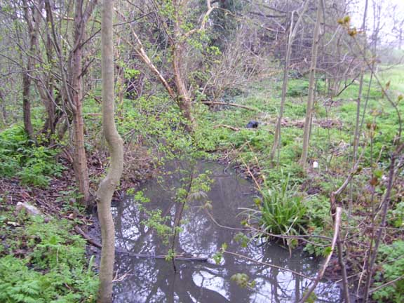
The Tillingbourne flows towards the
Mutton Brook close to Henley''s Corner
This stream, which I call the Tillingbourne for the sole reason that it issues from a point directly across the North Circular from Tillingbourne Gardens, is traceable further north by low-points in road surfaces and the presence of gratings and manholes.
Curving round beyond Tillingbourne Gardens via Edgehill Avenue (the next road east which leads us north of Tillingbourne Gardens) we hit the junction of Beechwood and Windermere Gardens and it is here we gain our alignment north to trace the Tillingbourne back to source. The junction is a clear low-point in direct line with the streams visible course further south. There is also a nice big grate of rare type in the road just here. Further, Windermere Road seems to be placed firmly within a gully with high ground to either side for the most part and particularly on that road''s west edge (this is clear if we look up Holly Park from the junction with Windermere Avenue).
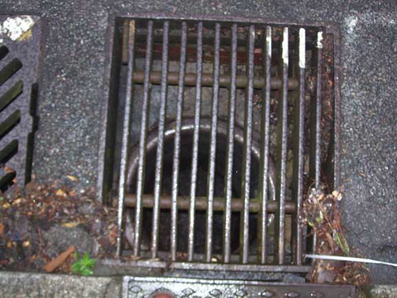
The Grate at the junction of Windermere
and Beechwood Avenues
Further north, close to the road''s junction with East End Road there is a small modern estate that backs up to the west/rear of the old Manor House. This is called Spring Place.
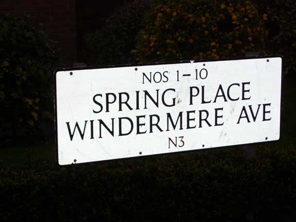
Spring Place: close by where the Tillingbourne
issues from the Finchley Gravel Clays
Tracing eastwards, the next tributary of the Mutton to come down off the Finchley high ground rises somewhere at the south end of the old Finchley Manor grounds. It passes through the complex of 1950s flats and houses around Moat Crescent and pass under the A406. From there it runs down Beaufort Drive, the short street behind those stately flats which curve on the divide between the A406 and Falloden Way and connects the two main roads. Looking down Beaufort Drive from the footbridge over the North Circular, one gains a clear impression of gravity compelling water to gush downhill to the valley floor.
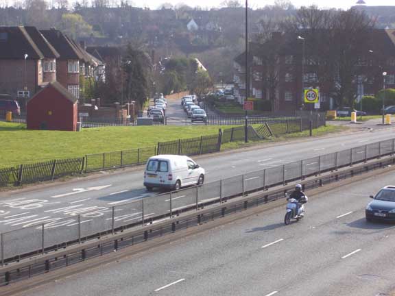
Looking across the A406 to Beaufort Drive - the course of the stream
There is a certain grain in the shape of the land here that insists on the inevitability of water running this way. Upon hitting the Mutton Brook at a point aligned with the south end of Beaufort Drive I was pleased to see an outlet and water entering the stream from below the riverbank.
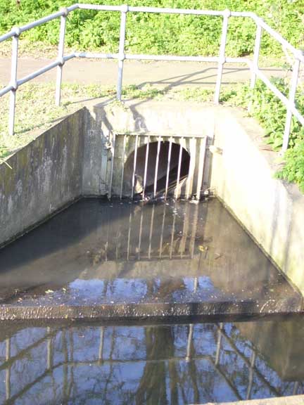
The "Beaufort" stream flows into the Mutton brook

