Perhaps we are trespassing on the territory marked out by Albert Pinching and David Dell in their book Haringey’s Hidden Streams Revealed (Hornsey Historical Society 2005) but let us follow the Strawberry Vale Brook further east. Having surfaced at the base of the St Pancras and Islington Cemetery (the valley-bottom here was once known as Tinkers’ Bottom) the brook takes in waters from south and from north. These are traceable through eye, through scanning old OS maps and through close readings of the surface of the land.
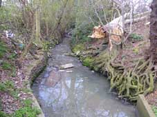 In particular, two curious concrete structures marked on old OS maps as “water tank” serve as inception-points and storage vats for the utilisation of waters by the cemetery works. One of these, to the north of the Strawberry Vale Brook, takes water from a stream originating somewhere on the far side of the A406 North Circular Road. It is difficult to identify precisely where this stream runs. No indication of its course is apparent on the ground and the 1894 OS map shows a stream running to the tank from where the Glebe Lands Nature Reserve is now situated but further north are mere lines that seem to indicate field boundaries and possibly field-side ditches. A photograph, courtesy of Aerofilms, dating from 1928 and reproduced in C.R.P. Lawrence’s Village into Borough (Finchley Public Libraries Committee 1964) shows a hedge line extending as far north as Woodhouse school that may contain a sizeable ditch. The image corresponds with the 1894 map but, in the absence of more information, any comments I make remain conjecture.
A stream that is far easier to identify feeds the next “Tank” a few yards on from the first but on the south side of the Strawberry Vale Brook. The Fuel Lands allotment is a suprisingly large area given over to fruit and vegetable growing. Access is gained through a low-key steel gate just off the Great North Road on its east side. The allotment users are security conscious but Hugh Petrie, Barnet Borough’s official local historian gained me access. The allotment is a staggeringly beautiful place and extends all the way from Village East Finchley to the west edge of Coldfall Woods. Cutting diagonally across the allotment is a rill that rises in some adjacent allotments.
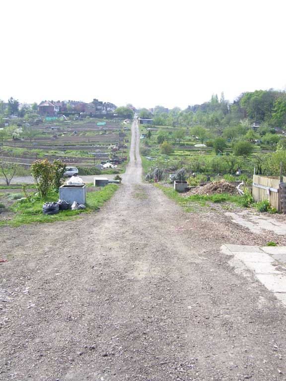
The dip on the Fuel Lands indicating the stream''s course
This joins a more sizeable brook rising somewhere close to Creighton Avenue (this flowing parallel to the streams that run through Coldfall Woods of which more in a bit). This brook has been buried but spurts out through a lovely brick pipe and runs down between sheds and terraced vegetable plots to join the rill at the allotment’s lowest point.
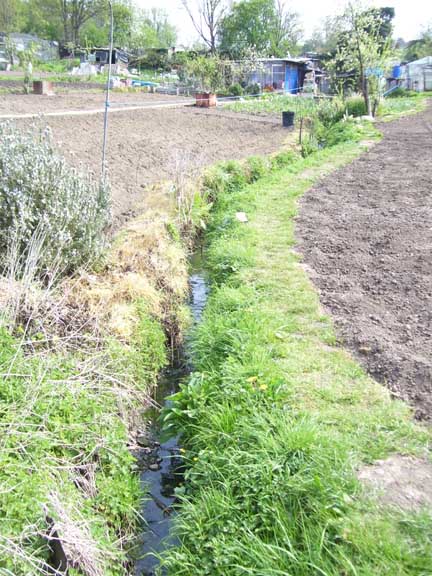
The Fuel Lands Ditch runs through the allotment gardens
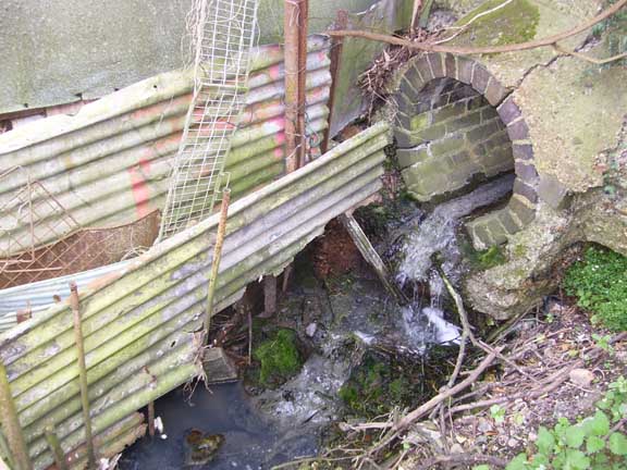
Where the ditch appears through a beautiful brick pipe...
Hugh Petrie directed me to an old lemonade bottle visible in the mud while
I was rummaging around in the stream bed. I gracefully presented it to our Borough Archivist and he has now placed this in some collection or other to which I undoubtedly have no access. According to Hugh the bottle is a "torpedo bottle" invented by William Hamilton, an Irishman, in about 1806. They were in use until about 1890. There is a photograph of the artifact below:
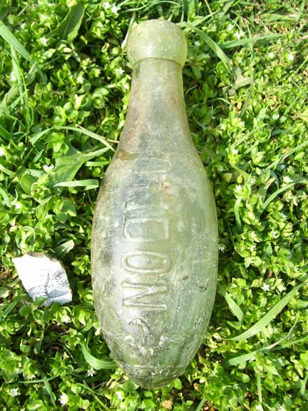
The bottle retrieved from the Fuel Lands Ditch
The combined waters then run north to disappear under a fence and deep below the ground in the St Pancras and Islington Cemetery. Tracing the brook by land-reading in the cemetery is difficult because the land has been heavily sculpted but it can be traced to the latter of the two tanks where the water bubbles up through an oddly dream-like matrix of concrete beams, the spaces between these packed with aqauatic plants.
Finally, towards the eastern end of the cemetery, close by a gate leads through to the North Circular and Coppetts Road, the so-called Coppetts Wood stream (that rises in Coldfall Woods) runs down at a slant to join the Strawberry Vale Brook. This stream surfaces a good few yards north of the confluence via a cement pipe set into a high mass of earth that looks like an artificial cap placed on an old rubbish tip or such-like.
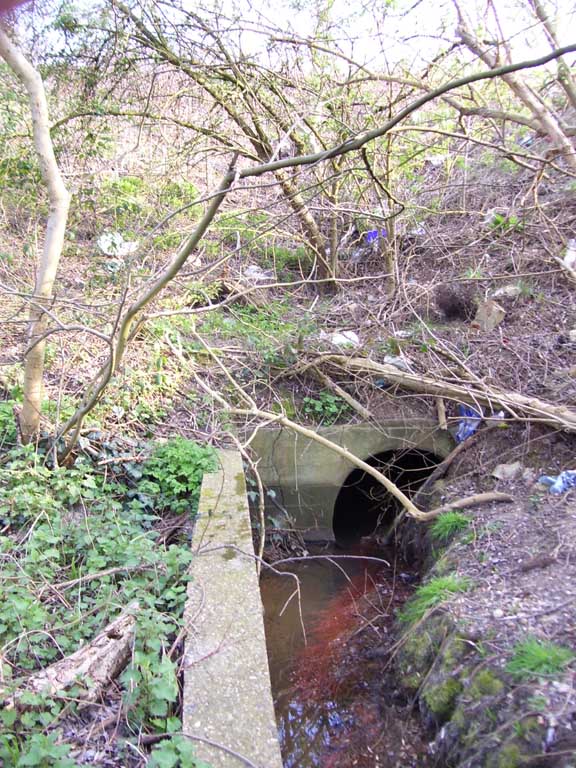
The Coppetts Wood stream surfaces from below the sports field
Actually it is a sports field but a general “dumpy” (and to my mind, attractive) air surrounds the place.
The area close by the eastern gate to the cemetery was at one time known as Irishman''s Corner. It is a swampy low-lying area and not without its attendent dangers. According to a lecture delivered by J.L. Barr to the executive of Standard Telephones and Cables at Friern Barnet town hall in 1956, the stream here played a part in a generally unaknowledged tragedy. In 1386 a bishop of London travelling south had his coach overturn ''into a stream.'' As a consequence the bishop''s coachman drowned. By now we are way out of Barnet Borough and in danger of being beaten up by the Hornsey Historians should they find us in their province so I will terminate the walk here. Suffice to say, any information I subsequently uncover regarding the “Woodhouse” Stream (this runs along north of Woodhouse Road and down Colney Hatch Lane to join the Strawberry Vale Brook) will be dealt with at a later date.

