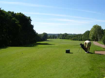
A new area unfolds in the scanning mind and is focussed upon: The A1(T) Barnet Bypass cuts north from its junction with the A41(T) at Northway Circus. I recently trod that way, mesmerised by the road’s roman curve as it mounted the slope of the south Herts tertiary ridge through to Stirling Corner. On either side towered the heights of Scratchwood and Moat Mount, rhododendron-infested damp woods both of them and watersheds for springs running in all directions.
Our friend the Deansbrook is built on the many riverlets rising from the former and its little sisters, Boys and Thistle Woods. An additional stream rises near to where the A1(T) tucks in below Gravel Pit Wood.
Deansbrook runs south in the bottom of the valley containing Mill Hill Golf Course and takes in yet more waters from the streams emanating from Moat Mount and Highwood Hill. It is these latter two categories which interest me most here. All, of necessity pass beneath the bypass via deep-set pipes, surfacing in the belt of white poplars and mossy ditches and embankments on the golf course’s eastern side.
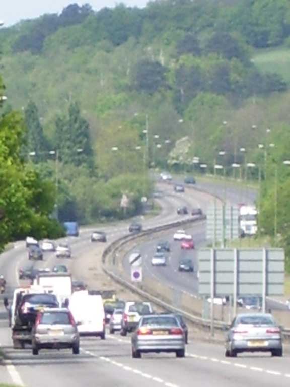
The A1(T) Barnet Bypass runs north
overshadowed by the South Herts Tertiary Ridge
The Mill Hill Golf Course was fouded in 1927, built on land forming part of Coventry Farm. The farm was for dairy produce and the old dairy buildings, dating from the 1880s were converted into the clubhouse by Anne J. Cooke, the course itself being designed by J.F. Abercrombie. It is worth quoting here from the Moat Mount Estate Sale Catalogue of 1930 regarding the land hereabouts:
The course measures some 6,385 yards according to the card and is therefore well up to modern standards in length. Although like most courses in the north of London the subsoil is clay, an elaborate system of drainage and the application of hundreds of tons of clinker has minimised this natural disadvantage.
It is the extent of water-activity and the attempts by the golf club to manage this with which we are concerened here. Let us run than, south to north, travelling on either side of the bypass simultaneously and sketch in the streams by sight or by probability.
We will turn off the bypass eastward, up Marsh Lane to Hankins Lane (“Hanging Wood Lane” on Rocque’s Topographical Map of the County of Middlesex, 1754) and pace north towards where the Mill Hill Golf Club has built their clubhouse on the site of old Coventry Farm. It is here, by Courtland Road that a dip in the lane indicates the presence of a stream. I know it is there because the 1895 OS map shows it crossing the lane east-to-west. I feel the stream originates somewhere over towards Highwood Hill, possibly in the region of the pond in Beech Wood. The stream becomes visible on the far side of the A41(T), issuing through a lippy concrete pipe into the woods along the golf course’s edge just south of the subway used by club members to carry them safely from the clubhouse to the course. It then runs in a deep and inaccessable gully marking the boundary between the golf course and a school.
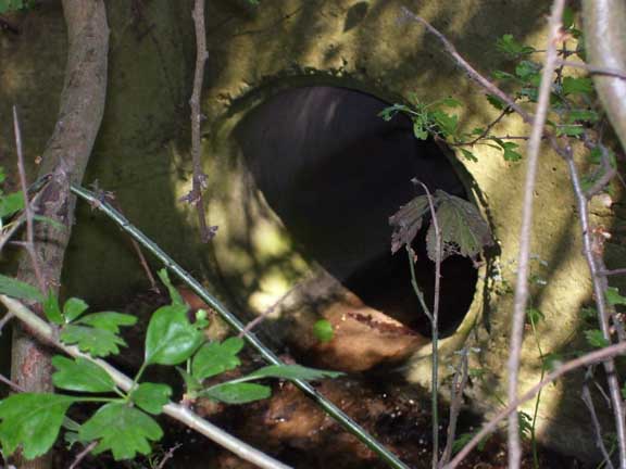
The stream issues from a lippy pipe...
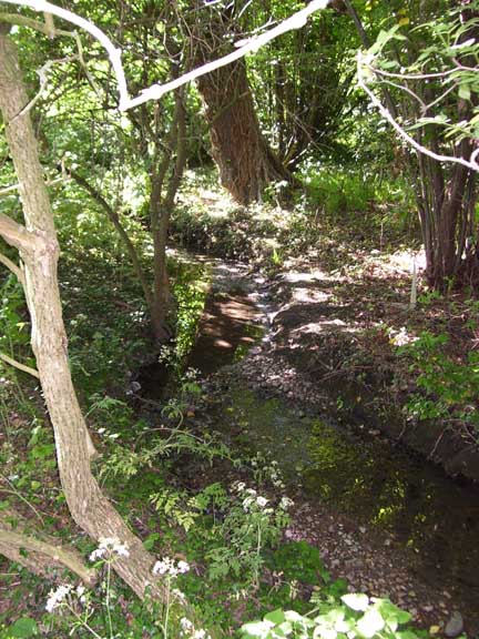
...and heads off through the trees
It runs northwest across the course to just south of an old footpath running from the north of Stoney Wood Lake to the underpass (this path is clearly visible on the 1895 map – the path joins the farmhouse to a structure marked as “the Sheephouse.” This makes the subway a modernised section of the old route).
It is here, by the footpath that our stream fuses with another watercourse. This is clearly visible on the current 1/25000th OS map running just to the north of the clubhouse. It is visible closest to its source when walking along the footpath that runs south from Nut Wood to Bedford Road, close by Hankins Lane. It was little more than a muddy set of puddles disappearing into a briary patch of scrubland, the water seemingly black and scattered with petals of may.
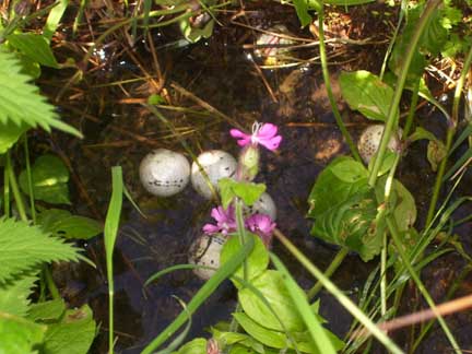
Balls!
The section open to view behind the golf clubhouse is packed with marestail. There are numerous golfballs in the water here, looking at first glance a little like eggs. The stream disappears under ground momentarily before resufacing in a small thicket. On the day I visited a small ginger cat was prowling about in the shrubs, undoubtedly up to no good.
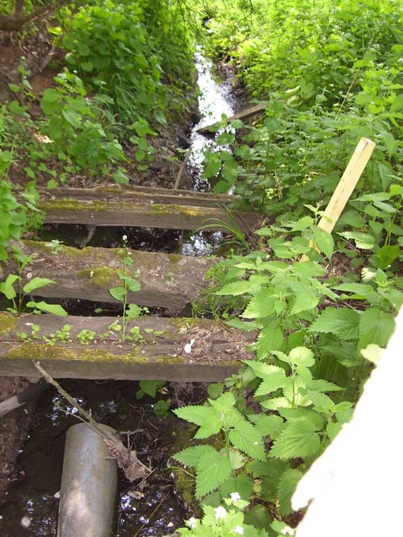
The second stream runs through woodland
towards the fairway
The interesting thing about these two streams is that they form a veritable tipped “U” on the land’s surface, with the open end facing to the east, as is clearly evident from the 1895 OS map.
A glance at the New Map of Hendon (1825) shows that this area between the streams was known at that time as the Upper Broad Field. The farm/clubhouse nestles neatly close to the open end of the form and the bypass slices across the form where the streams travel below the road’s surface. The more northern of the two is marked on the 1895 map as running clearly above ground but I found that parts of it are piped in order to facilitate movement on the fairway. Both streams are wrapped in green corridors of foliage as is clear from the photo below:
The two streams run towards their confluence
wrapped in dense belts of foliage
I traced its course to the confluence after climbing through the rickety fence separating the golf course from the pedestrian path running alongside the A1(T). It spurts through a double-ended pipe and runs along in woodland. Several small planks have been placed across it to serve as bridges – undoubtedly used by golfers rummaging around in the trees for their lost balls.
Next north is the sequence’s deepest mystery. The damp dark woods of moatmount pile away to the bypass’s east. It is a large nature reserve managed by London Borough of Barnet. Moatmount is a key presence in Barnet’s river-systems as the massif is effectively a watershed not just for these sub-springs of the Silkstream (via the Deansbrook) but, further west, of the Dollis and possibly for the north-running Mimmshall brook also.
Nut Wood contains a large wedge-shaped lake fed by a stream traceable further northwest but marked on neither the 1895 OS or on the current 1/25,000th. Never-the-less I followed this stream the other day, walking uphill along a footpath lined with various exotic trees to where the rill became nothing more than an elongated damp stain. Point-of-issue is just below a fence marking off some private territory and it is here that I saw a curious moss-lined brick tunnel-mouth resting forlornly in the undergrowth a few feet to the south of where the water apparently ran. I don’t know whether the stream has shifted north since this spout was placed or if water issues from here also during wetter weather.
From the Nut Wood Lake the spring winds down through the trees to meet another watercourse risinf further north, the two conjoining at the east end of the long hornbeam-lined track just before this passes out of the woods into a sunny glade close to the designated picnic area close to the bypass road. The A1(T) is mounted high here, forming a ramp as it ascends the South Herts tertiary ridge so the stream is buried deep beneath the road’s surface.
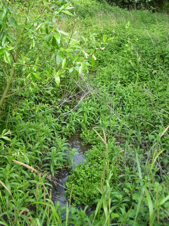
The Nut Wood stream riggles through
aquatic vegetation...
The stream surfaces on the golf course and wiggles through a tender zone of aquatic vegetation before becoming a long wide pond or lake the other side of a north-south running footpath. This is a stunning place and the day I visited a soft cooling wind shook the silver leaves of the white poplars close by, their rustle creating a healing challenge to the ceaseless sound of cars on the bypass.
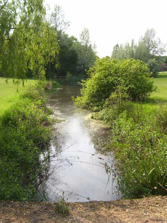
...and fills the elongated pond or lake on the golf course
So far so good but it was after probing in the belt of woodland just to the north of the stream that I uncovered the inspection-chamber granting access to two other streams piped beneath the major road and here it gets very powerful indeed. In the process of sliding the lid of the inspection-chamber aside and daring to descend the steel steps mounted in the chamber’s brick wall I passed into the deeper structure of the landscape. I descended into a timeless space broken only by tricklings, by echoes; a space unmarked by the iPhone''s and hairstyles, the untrammelled market forces of the era of Gordon Brown.
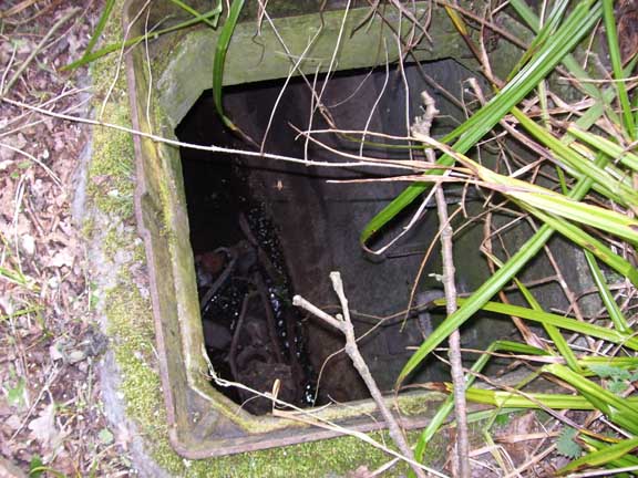
The inspection chamber hidden in the woods
At the chamber’s base two springs met, one running north-south, the other from the direction of the bypass. They were fed into the chamber via pipes that were about three feet across. From the chamber the water ran through another pipe a few yards to sunlight as they joined the Nut Wood stream just east of the elongated pond mentioned earlier. I felt a kind of love, gratitude at being granted access to this still point in a turning world. From when does the chamber date? Is it from the Golf-course''s inception in 1927 or from the date of its upgrade in 1931? What relation does the building of the bypass have with this shrine, this forest temple devoted to the region’s water system?
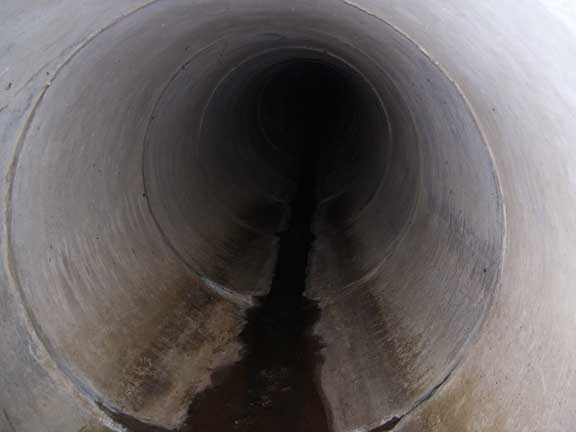
Deep below the bypass the stream trickles
It is difficult at this point in the proceedings to be definite about these two streams. I will buy myself a torch and follow through these tunnels shortly to trace the streams back to their source. For now I would suggest that one of them issues just to the north of Target Wood, close by Tanglewood. The other stream I feel rises to the west of the bypass but have no evidence other than suggestions gleaned from the 1895 map and my 1987 edition of The Master Atlas of Greater London.
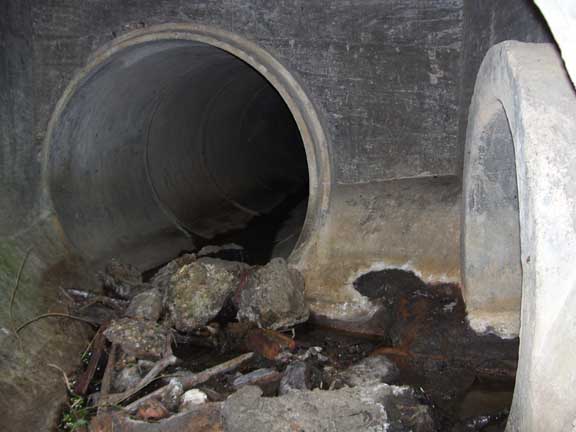
Inside the River Temple hidden in the woods...
As I surfaced I caught a glimpse of movement in the bushes. A large well-built chap wearing a beard and nothing else wandered close by. Spotting me he hurried off into the trees, his buttocks catching the light from the mid-afternoon sun. I had entered the chamber on a still day devoted to my Deep Topography. On leaving this place of humble and patient persistence I graphically re-entered the world of human expression and endeavour with all its attendant turmoil.
...the rivers whisper their memories


