
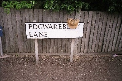
Ancient Edgwarebury Lane: Route to the main
watershed of the western sources of the
Deans Brook
Here we will look at those springheads that feed the tributaries which, in turn water one of the main brooks of the Borough. The Silkstream has its origins in many small rills and ditches and tracing these will provide an illustration of the complexity of our home water systems. In order to add cohesion to this page I will describe the geological setting first and then work along a line west to east surveying as many river-sources as I can. It must be understood that this survey is in no way exhaustive. The topography of a region is unbelievably complex. The study of even a small area returns a lifetime''s work. Successive visits to a zone such as, say, the Edgwarebury uplands will reveal details and relations overlooked on previous surveys.
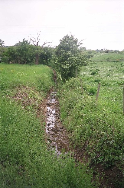
Field ditch at Edgwarbury: Fifteen miles on and this water
will enter the Thames at Brentford!
An elongated ridge of high ground runs across the top of London from Crewys Hill in the east to Harefield in the West. It is known variously as the North Middlesex Tertiary Ridgeand the South Herts Tertiary Escarpment.
A portion of this ridge running from Cockfosters westwards to Edgwarebury comes within the bounds of the London Borough of Barnet. The ridge consists of chalk topped with London Clay and episodic strata of gravels or occasional sands. The escarpment acts as a watershed, draining waters north into the river system of the Colne in Hertfordshire and south into that of the Brent.
If we examine a map of the region we will see that three main streams run on a broadly north-south axis through the Borough:
To the west we have the Silkstream, which runs down through Edgware, Burnt Oak and Colindale into the Welsh Harp at West Hendon.
Secondly, the Dollis Brook or Brent rises to the west of Barnet and flows east and then south through Finchley before turning west for the Welsh Harp.
Finally, the Pymmes Brook flows down from around Hadley Wood and passes through Cockfosters, East Barnet and Osidge before leaving the Borough.
Each of these streams has a page on this site dedicated to it. The Mutton Brook and the small nameless rill, barely discernable in the contours of the land, which flows from North Finchley into Pymmes Brook at Waterfall Road are also covered elsewhere in this site .
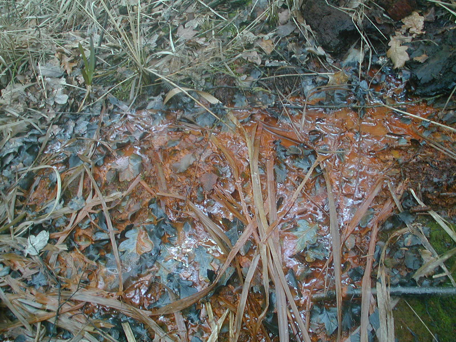
Iron deposits show clearly in this photograph
taken just below Jack Straw''s Castle.
This water will eventually hit the Brent at Brent Cross.
The three main feeders of the Silkstream are Edgware Brook, the Edgwarebury Brook and Deansbrook.The first of these rises outside the Borough, from several sources on Stanmore Common (coming off the highest ground in Middlesex) in the Borough of Harrow. Tiny water courses issuing in the area immediately to the south of Bentley Priory and off the east face of Brookshill and Clamp Hill run downhill, and filling the summerhouse lake, on the slope below Bentley Priory and the Temple and Boot ponds further south. This general flow of water takes water rising on the Belmont Mound to the west and then crosses below Abercorn Road and over the adjacent sports field before merging with another stream originating two trickles in Cloisters Wood.
This latter stream crosses Marsh Lane before the confluence of the two courses near the site of an old sewage farm. This growing brook than turns east and flows alongside Whitchurch Lane, to that road''s south until it hits the A5 Watling Street.
This Bridge - once known as Edgware Bridge - has always been of great importance, placed as it is on a major route. Refernces to it can be traced as far back as 1370 when it was claimed that the Prior of St. Bartholemew''s, at that time holding lands in Edgware, held responsiblity for repairs to the bridge.
The Edgwarebury Brook carries water from drainage ditches on the high ground to the east and south of Brockley Hill. If you walk around this remote and eerie region perched beneath the summit of the tertiary ridge you will spot ditches and streams running south-east from over near the top end of the Edgware Way (a section of the A41(T)Watford Bypass Road) near that road''s junction with Watling Street.
Old Drainage ditches on the west side of Watling Street, on Brockley Hill, join a stream issuing somewhere to the west of that road (probably at Pear Wood where a lake provides great fishing). These then run off in a south-easterly direction, under the A5 though Pipers Green and Newlands until they join the Edgwarebury Brook (see the next paragraph)
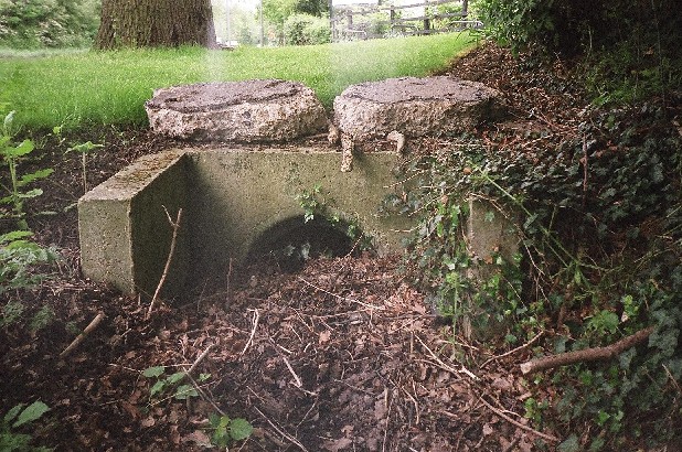
Dried bed of drainage ditch on Watling Street near Canons Corner: The waters (when there are any) are directed through Newlands and into the Edgwarebury Brook.
These rills are joined by waters flowing south-west from the region of Bury Farm and then run around the western and southern edges of Edgwarebury Park. It is worth pointing out here that this zone is well worth a visit. It is one of the wildest places in Barnet Borough and retains a slightly sinister air. There are also expansive views southwards into London and westwards towards the high ground at Scratchwood, Mill Hill and Moat Mount.
This stream, now known as the Edgwarebury Ditch crosses beneath the A41(T) Bypass and remains hidden during its presumed journey through Ranlagh Drive and Ashcombe Gardens. It does resurface again however, visible in a concrete conduit along Glendale Avenue. Our stream then crosses below Edgwarebury Lane before running along a footpath and into the gardens of The Drive and The Rise.
The Hale bridges the edgwarebury Ditch as it runs towards its confluence with Deans Brook via Penshurst Gardens, St. Margaret''s Road and Lovat Close.
Old Clay Lane runs eastwards off Edgwarebury Lane before turning south and becoming Broadfields Avenue. The Broadfields estate effectively covers a further stream which forms a western tributary of the Deans Brook. I took the time to trace this stream, which presumably provided water for cooking and washing in the tramps''community based on Clay Lane in the 1930s (prior to the building of the Broadfields Estate).
This riverlet springs forth due north of Scratchwood Services, to the north of the M1 Motorway. It curves down under the railway and into the Broadfields Estate, where it is buried beneath the roadways.

The upper course of the a stream bound
for the Deans Brook. It cuts through the land
east of Clay Lane.
A study of the contours of the land reveals its course across Glengall Road, between the bottom end of the back gardens of the houses along Marlborough Avenue and Cranmer Road and then beneath Rosen''s Walk.
A quick walk south down Lynford Gardens and left along Warwick Avenue reveals the course of the stream beneath the lowest point of the road up ahead. Stop here and look north. The houses here are propped up on an artificial bank with their back gardens places considerably lower than the street upon which you stand. It would be interesting to gather the courage to knock at one of these houses and ask the residents if a brook flows through their back gardens.On the south side of the street the course of the stream is clearly discernable in a low run between a private house and the local synagogue. On the evening I visited I could see a clear route downhill to orange street lights on the Watford Bypass Road.
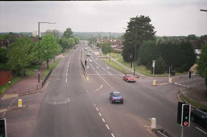
The A41(T) Watford Bypass Road. Numerous
streams cross its course in the region of Edgware.
The stream crosses the bypass and joins the Deans Brook further south, to the north of that of the Edgwarebury Ditch. According to Martin S. Briggs in his book Middlesex Old and New (1934) the Deans Brook rises in a place called Nut Wood. In fact it has several sources which I have not personally visited but have traced to the east at Highwood in Mill Hill by using an Ordnance Survey map. There is a Leg of Mutton just to the north of Briggs'' wood and this waters one of the Deans Brook''s sources. Further rills run southwest from Beech Wood behind Ramilles Road. Another flows from the rear of Highwood House to the south of Worcester Crescent.

Highwood is placed at the southern end of the Moat Mount Open Space,which forms the watershed for streams running both west and east. To the north of the water-complex just examined we find the roots of the Dollis/Brent in Barnet Gate Wood. Further feeders for that stream rise to the immediate east of Highwood and flow beneath Hendon Wood Lane where they are swelled by ditches alongside that road. These will be covered on the page dedicated to the Brent.

North of the M1 a conduit carries water
from the motorway to a stream
feeding the Deans Brook (see below)

This stream has its source on Deacon Hill.
These watercourses combine with a more turbulent stream originating to the north of Hemmings Wood. This fills Stoney Wood Lake, before passing beneath the motorway and the railway and filling the large lake in Stoneyfields park. This main stream then picks up the aforementioned Highwood Streams which enter the main course through a staggered set of conduits piped below the public footpaths immediately to the south of the lake.

Confluence - Deansbrook to the left,
Edgware Brook to the right
Southwards runs the Deans Brook, steady and powerful to its meeting with its kin as described previously. It joins the Edgware Brook to the north of Edgware hospital and united these become the Silkstream.
There are further tributaries of the Silkstream further south, particularly in the area of Colindeep Lane. These will be dealt with on the page dedicated to the stream.
A deepening darkness engulfs
the Edgwarebury uplands.
(c) Riverrun 2004